| Back to the previous photograph | |
|
| |
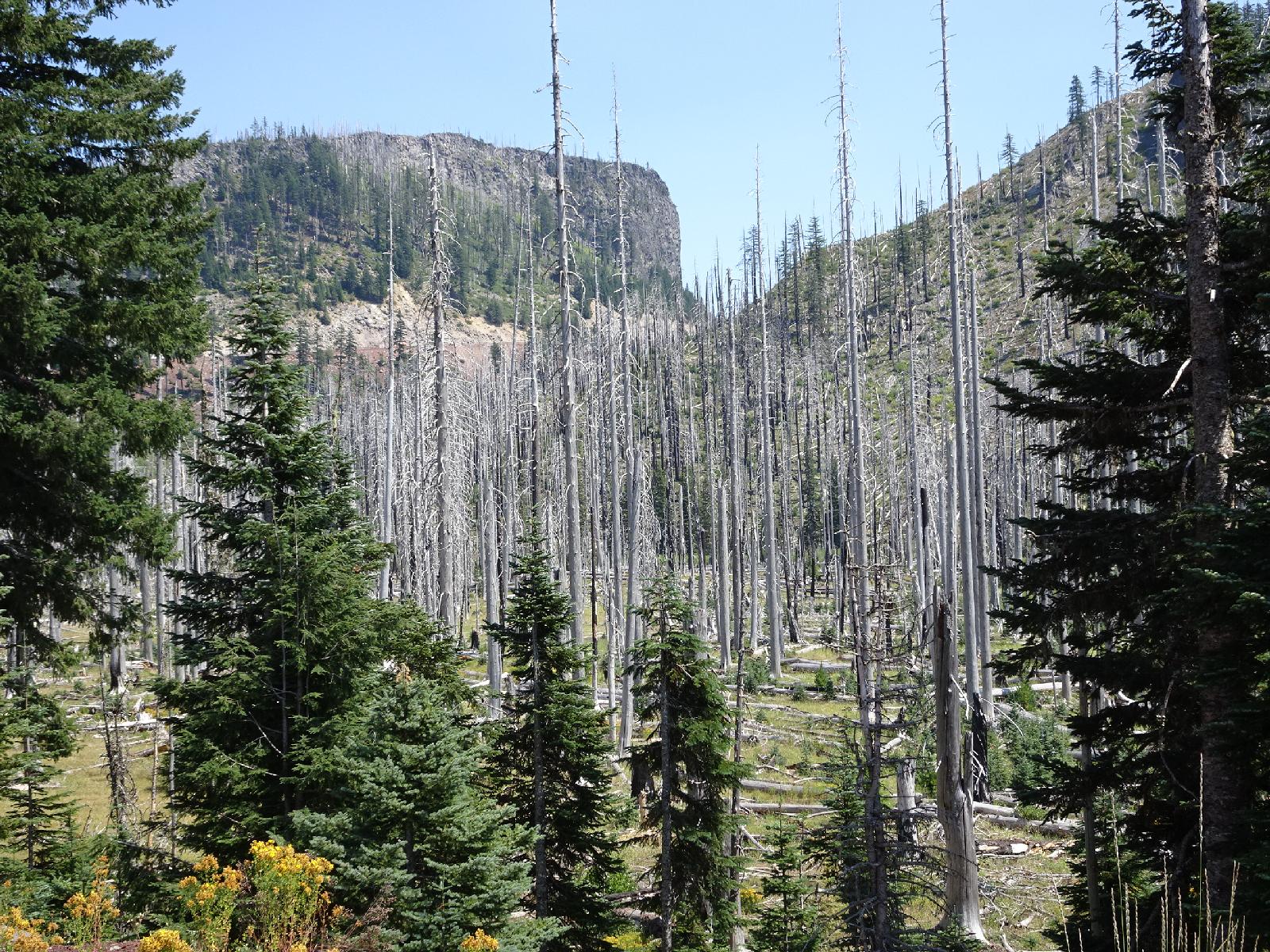 Here are a load of trees which got burned but stayed standing. The summit of today's route is at the base of the vertical cliff. UTC Time: 21:49, Monday 31 July 2017 Local Time: 14:49, Monday 31 July 2017 Estimate of longitude: 121° 53' 44.09" W = -121.895580° Estimate of latitude: 44° 25' 45.41" N = 44.429280° Possible error on position estimate: 10000 metres | |