| Back to the previous photograph | |
|
| |
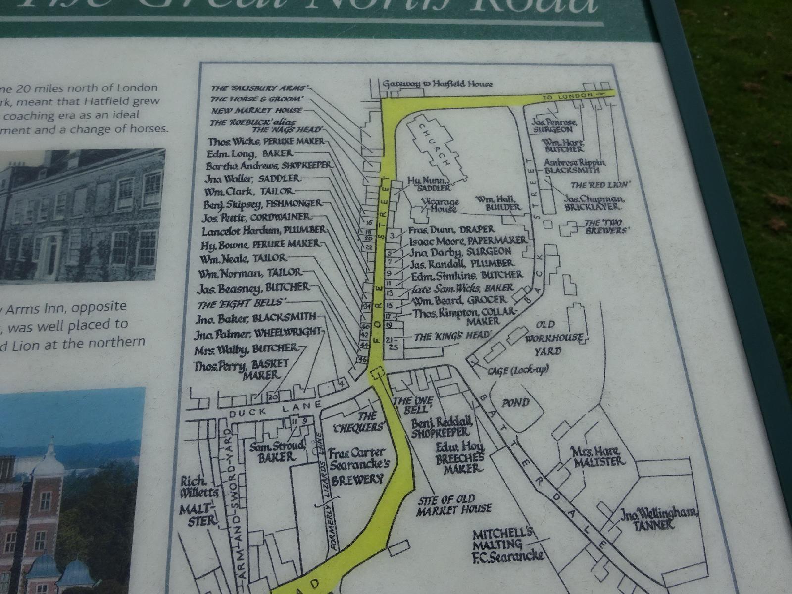 A map of Hatfield in the 1780s. UTC Time: 09:56, Wednesday 16 September 2015 Local Time: 10:56, Wednesday 16 September 2015 Estimate of longitude: 0° 12' 49.57" W = -0.213770° Estimate of latitude: 51° 45' 43.99" N = 51.762220° Possible error on position estimate: 100 metres | |