| Back to the previous photograph | |
|
| |
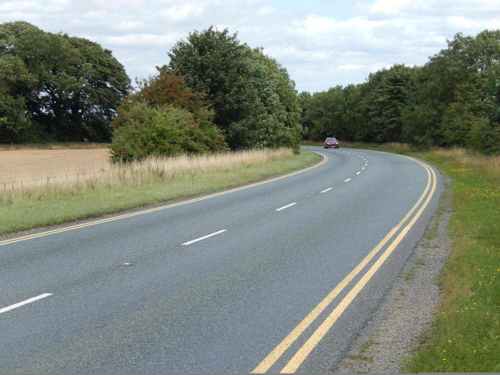 I wondered why this road well outside any towns had double yellow lines, and why it was curved when I thought it was supposed to be dead straight all the way from near Scunthorpe to Lincoln. Later in the day, I realised that it's because this is where the road diverts around RAF Scampton, the home of the Red Arrows. UTC Time: 12:18, Tuesday 25 August 2015 Local Time: 13:18, Tuesday 25 August 2015 Estimate of longitude: 0° 31' 57.36" W = -0.532600° Estimate of latitude: 53° 18' 46.69" N = 53.312970° Possible error on position estimate: 10 metres | |