| Back to the previous photograph | |
|
| |
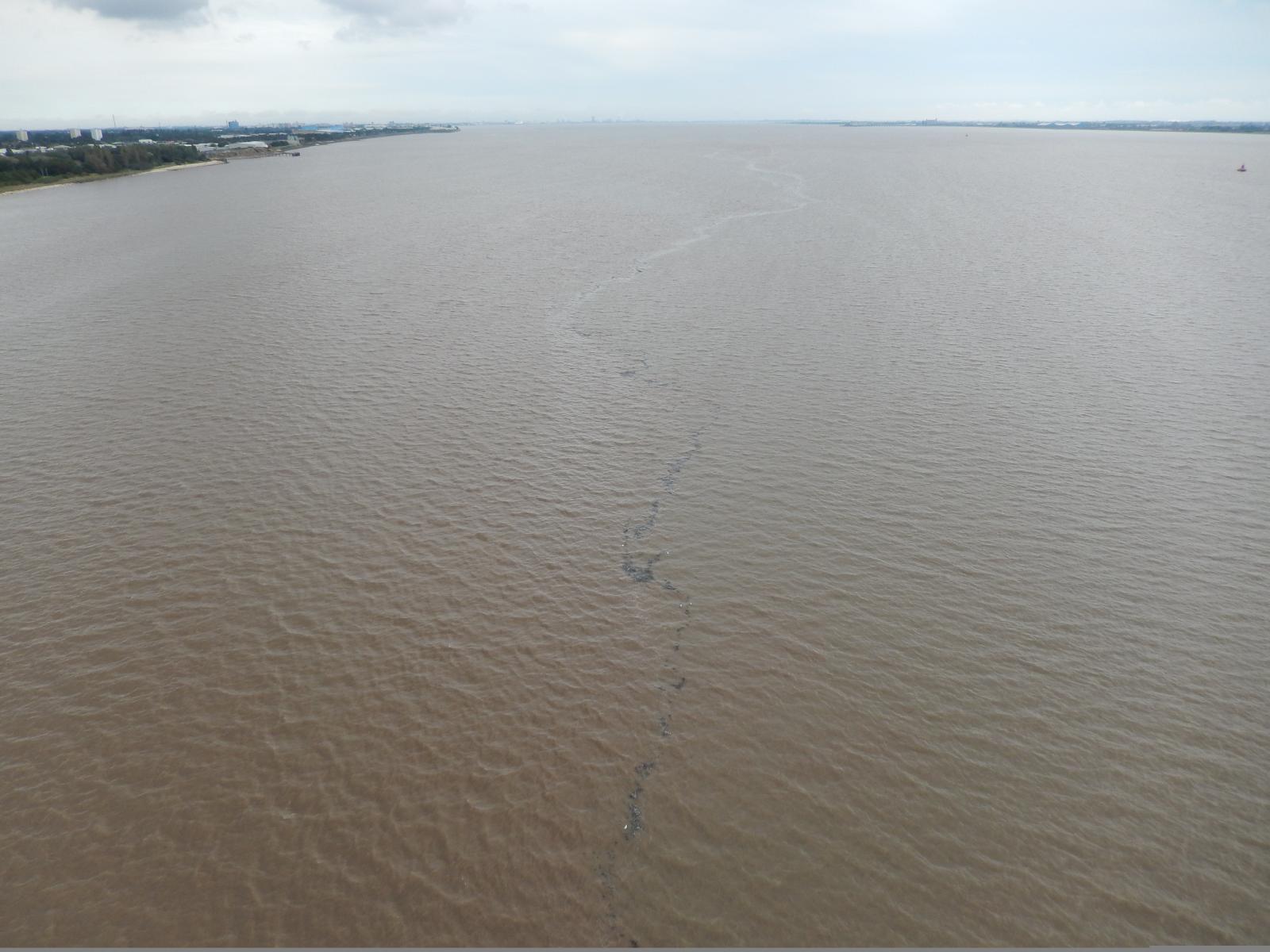 There's a line of flotsam stretching into the distance. I wonder whether it has collected in the boundary between waters from the Ouse and the Trent, the two rivers which combine to form the Humber about 17 km upstream from here. Alternatively, it could just be in the wake of a sandbar. UTC Time: 12:29, Monday 24 August 2015 Local Time: 13:29, Monday 24 August 2015 Estimate of longitude: 0° 27' 0.61" W = -0.450170° Estimate of latitude: 53° 42' 37.19" N = 53.710330° Possible error on position estimate: 100 metres | |