| Back to the previous photograph | |
|
| |
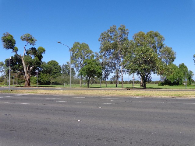
 Adelaide's CBD is a grid of streets measuring about 1.5 km by 2 km. It's completely surrounded by this belt of parkland about 600 m wide, the only roads through which are the main routes in and out of the city. UTC Time: 00:26, Sunday 19 January 2014 Local Time: 10:56, Sunday 19 January 2014 Estimate of longitude: 138° 35' 16.58" E = 138.587940° Estimate of latitude: 34° 55' 38.93" S = -34.927480° Possible error on position estimate: 50 metres | |