| Back to the previous photograph | |
|
| |
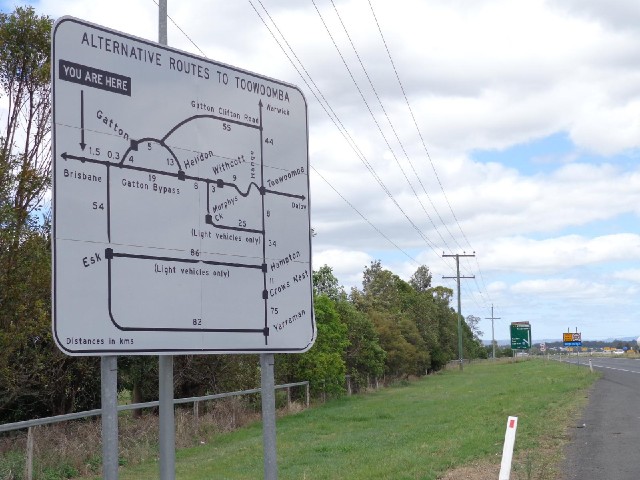
 This sign suggests a lot of different ways to get to Toowoomba, ranging from the direct route which is 41 km to the 264 km route via Yarraman. It seems a bit silly because it doesn't give any further information to suggest why you might want to use one of the longer routes. For instance, as I would later come to find out, it doesn't mention which roads are open to bikes. UTC Time: 23:46, Wednesday 18 December 2013 Local Time: 09:46, Thursday 19 December 2013 Estimate of longitude: 152° 19' 48.76" E = 152.330210° Estimate of latitude: 27° 32' 56.80" S = -27.549110° Possible error on position estimate: 100 metres | |