| Back to the previous photograph | |
|
| |
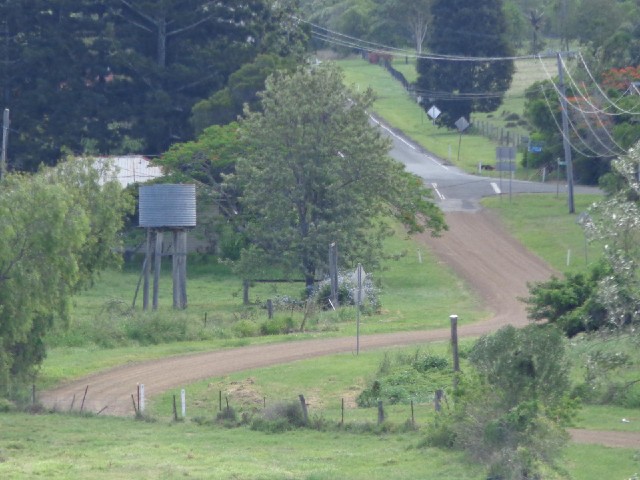
 Before deciding to come this way, I checked a few points along the route in Google Street View to make sure it was tarmac all the way and it did appear to be so I was alarmed again that it has just turned into gravel, until I noticed that from here I can already see the end of the gravel section. UTC Time: 04:19, Wednesday 18 December 2013 Local Time: 14:19, Wednesday 18 December 2013 Estimate of longitude: 152° 38' 39.41" E = 152.644280° Estimate of latitude: 27° 35' 34.08" S = -27.592800° Possible error on position estimate: 10 metres | |