| Back to the previous photograph | |
|
| |
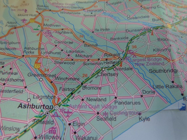
 I don't know why I'm still using this map. I don't believe that it's 26 km from Ashburton to Rakaia and 36 km from Rakaia to Dunsandel. The first part of that is clearly the longer. What does worry me though is that I've just spotted that the "Largest Bridge in New Zealand" is coming up. There's a possibility that by "largest", it might mean widest but that doesn't seem likely. UTC Time: 23:38, Thursday 05 December 2013 Local Time: 12:38, Friday 06 December 2013 Estimate of longitude: 171° 44' 40.52" E = 171.744590° Estimate of latitude: 43° 54' 22.54" S = -43.906260° Possible error on position estimate: 100 metres | |