| Back to the previous photograph | |
|
| |
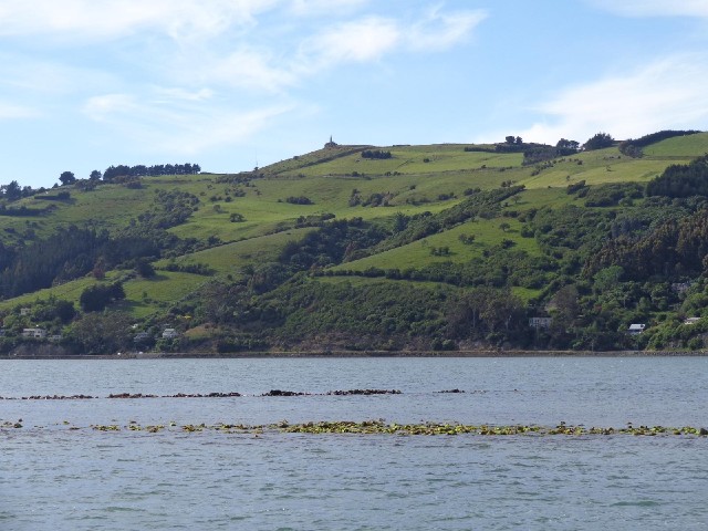
 The green line through the water is the top of a wall which was constructed to constrain most of the flow of water to the shipping channel so that it stoped the channel silting up. UTC Time: 20:15, Sunday 01 December 2013 Local Time: 09:15, Monday 02 December 2013 Estimate of longitude: 170° 33' 1.33" E = 170.550370° Estimate of latitude: 45° 52' 12.68" S = -45.870190° Possible error on position estimate: 50 metres | |