| Back to the previous photograph | |
|
| |
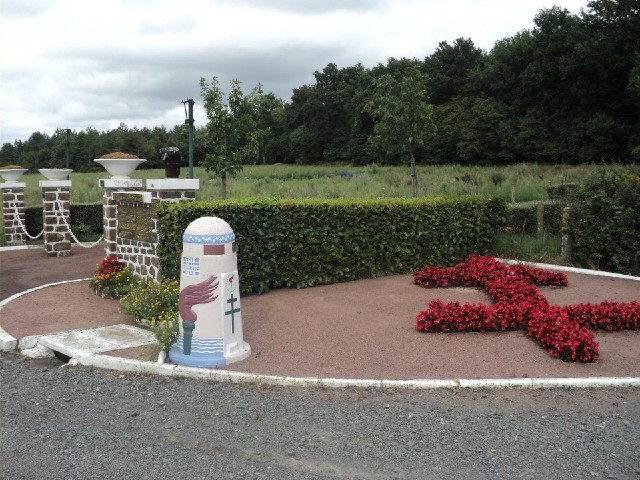
 It turns out that this is the Liberty Road, the route taken by Allied forces from Utah Beach to the Belgium/Luxembourg border. UTC Time: 16:29, Saturday 13 August 2011 Local Time: 18:29, Saturday 13 August 2011 Estimate of longitude: 0° 5' 23.21" E = 0.089780° Estimate of latitude: 47° 50' 41.10" N = 47.844750° Possible error on position estimate: 10 metres | |