| Back to the previous photograph | |
|
| |
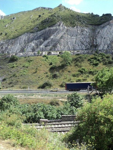
 The railway at the bottom, then the National road, and then the motorway cutting across the white section of exposed rock near the top. UTC Time: 13:50, Sunday 07 August 2011 Local Time: 15:50, Sunday 07 August 2011 Estimate of longitude: 3° 6' 20.56" W = -3.105710° Estimate of latitude: 42° 38' 21.98" N = 42.639440° Possible error on position estimate: 10 metres | |