| Back to the previous photograph | |
|
| |
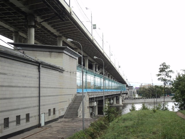
 The top level of this bridge is the road shown in picture 2032. The lower level is a Metro station. The platform extends all the way across the bridge and people waiting for trains can stare out of the windows at the view over the river. The Metro line emerges from the side of the hill behind me and then, once on the other side of the river, dives underground. UTC Time: 09:24, Monday 12 September 2011 Local Time: 13:24, Monday 12 September 2011 Estimate of longitude: 37° 33' 29.16" E = 37.558100° Estimate of latitude: 55° 42' 32.40" N = 55.709000° Possible error on position estimate: 100 metres | |