| Back to the previous photograph | |
|
| |
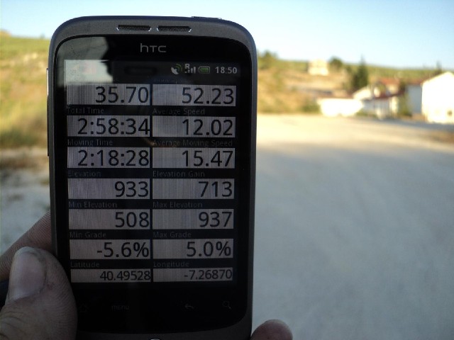
 This GPS gives height relative to the WGS84 ellipsoid, rather than relative to sea level so my height is actually 836 metres, not 933. I haven't checked the route ahead thoroughly but I would like to think that this is the highest point of the trip. UTC Time: 18:50, Wednesday 03 August 2011 Local Time: 19:50, Wednesday 03 August 2011 Estimate of longitude: 7° 16' 7.32" W = -7.268700° Estimate of latitude: 40° 29' 43.01" N = 40.495280° Possible error on position estimate: 5 metres | |