| Back to the previous photograph | |
|
| |
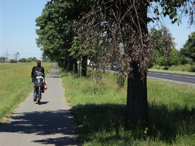
 The road on the right is route 92. I planned today's leg of the journey a bit rashly, assuming that I would be able to use the road easily because all of the traffic would be on the nearby motorway, then subsequently realised that the motorway was a toll road so that might not necessarily be the case. If I wasn't able to use it, that could add 30 km to today's route. It's fine here though and even when the cycle lane finishes, the traffic on the main road will be light enough that riding on it won't be a problem. UTC Time: 09:10, Thursday 17 June 2010 Local Time: 11:10, Thursday 17 June 2010 Estimate of longitude: 17° 51' 13.54" E = 17.853760° Estimate of latitude: 52° 17' 44.52" N = 52.295700° Possible error on position estimate: 500 metres | |