| Back to the previous photograph | |
|
| |
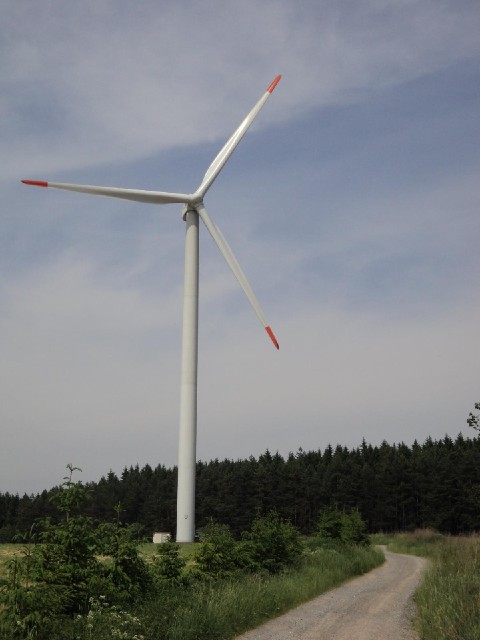
 I couldn't decide whether to use the main road or the scenic valley road for the descent towards Mohelnice. I've just changed my mind at the last moment so I'm following this track to the valley road. When the wind is blowing in this direction, the track actually passes underneath the blades. UTC Time: 12:51, Thursday 10 June 2010 Local Time: 14:51, Thursday 10 June 2010 Estimate of longitude: 16° 46' 10.63" E = 16.769620° Estimate of latitude: 49° 46' 24.89" N = 49.773580° Possible error on position estimate: 20 metres | |