| Back to the previous photograph | |
|
| |
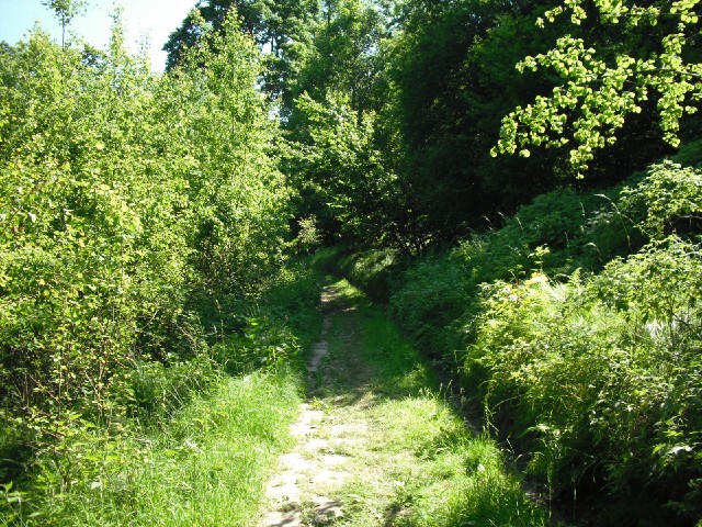
 The cycle path was blocked by flooding again and the only other way I could find went up the side of the hills. It started out as a proper road but soon degenerated into this. There was no indication that it was the right way to go but it seemed to be going somewhere so I followed it. UTC Time: 13:07, Sunday 06 June 2010 Local Time: 15:07, Sunday 06 June 2010 Estimate of longitude: 14° 13' 28.34" E = 14.224540° Estimate of latitude: 50° 49' 50.95" N = 50.830820° Possible error on position estimate: 500 metres | |