| Back to the previous photograph | |
|
| |
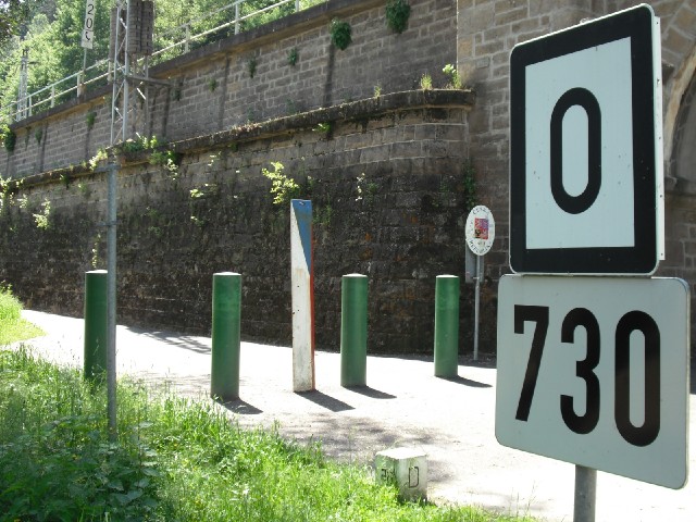
 It turns out that the kilometre markers weren't counting down to the upper limit of the navigable river as I had thought, but just to the end of the German section. Here, they reach zero and seem to start again with the Czech numbers. The small square stone at the bottom of the picture marks the exact border. Given that the border is completely open, it seems odd to me how few people seem to cross here. The last section of the path has been very quiet. The woman in front of me rode up to here, stopped, got off, looked about for a bit and then got back on and rode back where she had come from. She didn't even step across the border. It was as if she thought she couldn't go any further. UTC Time: 12:34, Sunday 06 June 2010 Local Time: 14:34, Sunday 06 June 2010 Estimate of longitude: 14° 13' 21.04" E = 14.222510° Estimate of latitude: 50° 51' 33.98" N = 50.859440° Possible error on position estimate: 5 metres | |