| Back to the previous photograph | |
|
| |
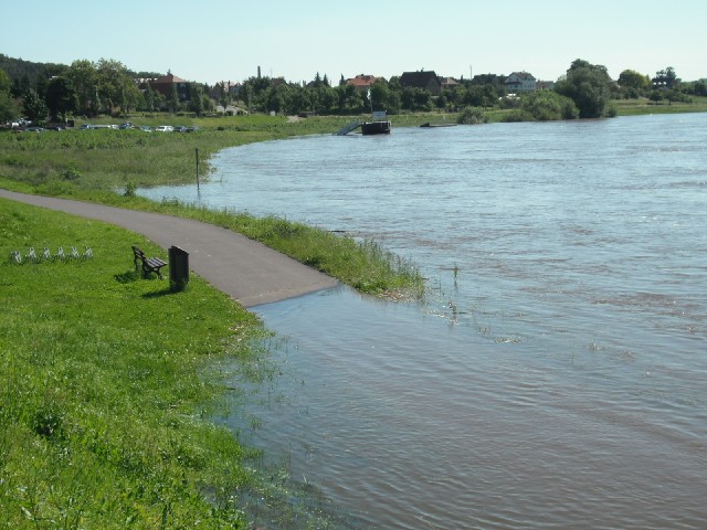
 As I had thought, the cycle route is closed in placed because of the high water. Where that happens, we have to join the proper road. Fortunately, the cycle route has frequent stretches where it briefly merges with the road anyway so whenever we do end up riding on the road for any reason, we don't have to go far before finding a sign for the cycle route again. UTC Time: 13:56, Saturday 05 June 2010 Local Time: 15:56, Saturday 05 June 2010 Estimate of longitude: 13° 25' 36.01" E = 13.426670° Estimate of latitude: 51° 13' 46.67" N = 51.229630° Possible error on position estimate: 1000 metres | |