| Back to the previous photograph | |
|
| |
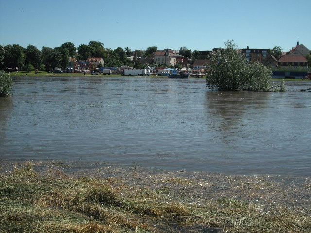
 You can see that the water level is high here in Riesa. I have a feeling that this could cause problems for the riverside cycle path. UTC Time: 13:04, Saturday 05 June 2010 Local Time: 15:04, Saturday 05 June 2010 Estimate of longitude: 13° 18' 26.93" E = 13.307480° Estimate of latitude: 51° 18' 29.59" N = 51.308220° Possible error on position estimate: 20 metres | |