| Back to the previous photograph | |
|
| |
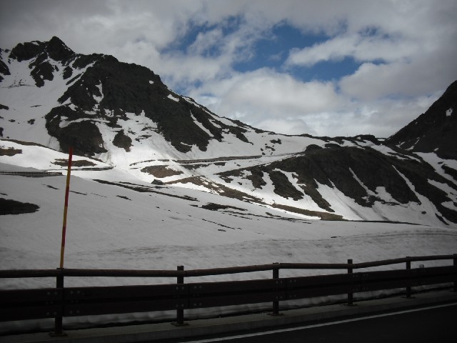
 You might be able to see one of the road's avalanch tunnels sloping down the mountainside. It was dark in there, which made it hard to see where the worst bits of the road surface were. I'm having to take this top section of the descent rather slowly. It would take a couple of millimetres off each of my brake blocks. UTC Time: 11:29, Sunday 07 June 2009 Local Time: 13:29, Sunday 07 June 2009 Estimate of longitude: 7° 9' 8.52" E = 7.152366° Estimate of latitude: 45° 51' 58.02" N = 45.866118° Possible error on position estimate: 500 metres | |