| Back to the previous photograph | |
|
| |
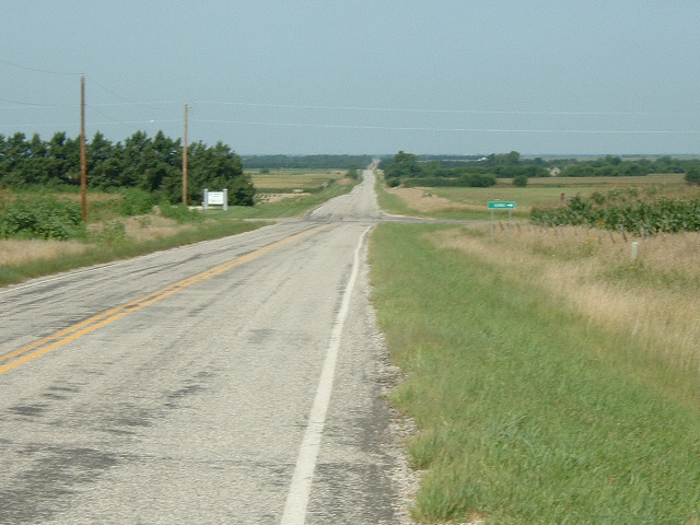
 It seems that I somehow lost my Adventure Cycling Association map in Cassoday. It doesn't really matter though. I can remember this part. It's 38 miles in a straight line. Incidentally, although I've come some 2620 km to get here, I'm now 1984 km as the crow flies from the Brooklyn Cruise Terminal. The significance of that is that I'm only 1975 km from my intended destination, although I may still change my mind about where I'm actually going. The wind today is much better than yesterday. The forecasts say it's from the south-east, although all the flags seem to show it blowing from the south. Whatever it is, I'm making great progress for very little effort. UTC Time: 16:01, Friday 20 July 2007 Local Time: 11:01, Friday 20 July 2007 Estimate of longitude: 96° 52' 34.32" W = -96.876199° Estimate of latitude: 38° 2' 31.63" N = 38.042119° Possible error on position estimate: 2000 metres | |