| Back to the previous photograph | |
|
| |
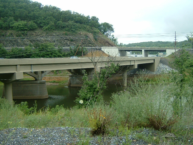
 Bridges on the approach to Bedford. The river here is known as the Raystown Branch. UTC Time: 21:44, Thursday 05 July 2007 Local Time: 17:44, Thursday 05 July 2007 Estimate of longitude: 78° 28' 19.79" W = -78.472163° Estimate of latitude: 40° 0' 49.03" N = 40.013620° Possible error on position estimate: 100 metres | |