| Back to the previous photograph | |
|
| |
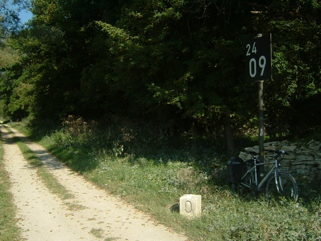
 The distance markers on the Danube are rather smaller than those on the Rhein and also seem to be only on one side of the river. Downstream, where the river is wider, it will be impossible to read these from the opposite bank. Unlike on the Rhein, these markers number upstream from the sea, 2409·0 km away. UTC Time: 08:07, Wednesday 07 September 2005 Local Time: 10:07, Wednesday 07 September 2005 Estimate of longitude: 11° 56' 26.56" E = 11.940711° Estimate of latitude: 48° 54' 32.16" N = 48.908932° Possible error on position estimate: 5000 metres | |