| Back to the previous photograph | |
|
| |
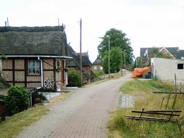
 The path along the top of the Elbe's flood defences in Francop. UTC Time: 09:47, Saturday 16 August 2003 Local Time: 11:47, Saturday 16 August 2003 Estimate of longitude: 9° 53' 33.83" E = 9.892730° Estimate of latitude: 53° 29' 56.83" N = 53.499120° Possible error on position estimate: 10 metres | |