| Back to the previous photograph | |
|
| |
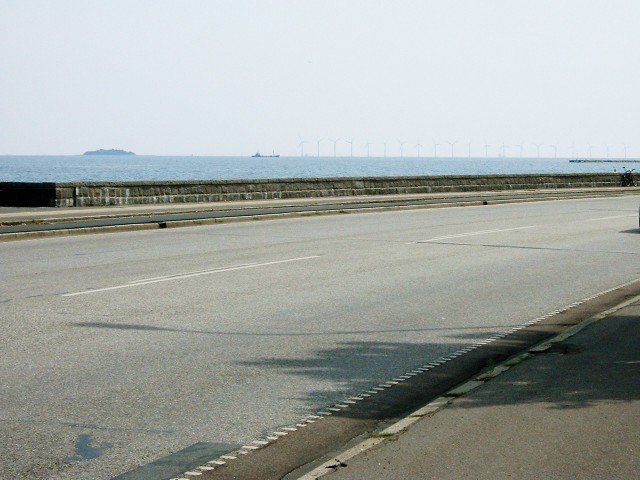
 Another part of the coastal route, showing an offshore wind farm. The ěresund bridge can just about be made out, behind the ship. UTC Time: 12:07, Tuesday 12 August 2003 Local Time: 14:07, Tuesday 12 August 2003 Estimate of longitude: 12░ 35' 45.85" E = 12.596070░ Estimate of latitude: 55░ 46' 17.54" N = 55.771540░ Possible error on position estimate: 10 metres | |